www.CADUTILS.com - more CAD for you!                     

Kordil AcadTRK (Free)

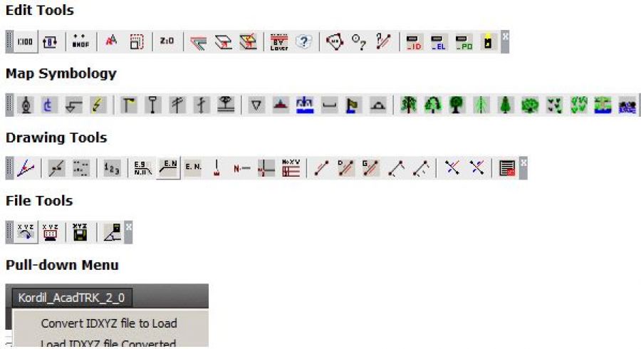
Kordil AcadTRK is a package that contains several LISP utilities useful for menu and mapping tools for AutoCAD above version 12.0. The package also contains CAD tools which supports for CAD programs supporting AutoLISP Languages (such as BrisCAD). The source codes of the utilities in the package are fully customizable and editable, and the package consisting of several programs are easily accessible through a pull-down and icon menus. Those who work on the construction or land surveying and also wish some useful enhancements for AutoCAD may give this package a try! The package works with AutoCAD version 12.0 and above. The package is equipped with an installation wizard and also with an installation instruction.

Kordil AcadTRK package is free of charge. However, it is expected to fill out the form before downloading.

Last modified on Tuesday, 23 February 2016 12:22

Additional Info

  • Features:


    FILE TOOLS

    convertxyz: It converts coordinates in ID,X,Y,Z format the file “c:\ Kordil_AcadTRK_Dec_08_INPUT.csv” in a readable format
    loadcoordinates: Loads point converted and write them on the screen. Text are placed at insert point. There are some questions being asked during loading. It allows to load the point numbers, later the elevations, or points as well.
    coordinatesout: Adds ID,X,Y,Z of a clicked point into the file “Kordil_AcadTRK_for_OUTPUT.csv” without overwriting. Keeps on adding.
    settingout: Adds setting out values from 2 station to the file to using distance and angle

    EDIT TOOLS

    mapscale: This is a master settings effects all programs. Assign a map scale based on linescale to adjust the object sizes to a visible and reasonable scale.
    rollback: Places default settings created by AcadTRK back. For example, Grad, North is zero, and Clockwise directions placed back to original. When needed automatically reloaded.
    autobilipmode: Toggles blip modes (small temporary marking points) on and off.
    flatten: Sets elevations of selected objects to zero.
    makelayer: Asks a layer name and creates it and set it current.
    kordillayers: Creates some preset layers embedded in the lisp code (code needs to be edited). The layer names can be improved by users.
    movetoactivelayer: Moves selected objects to the current layer.
    movetoaspecifiedlayer: Moves selected objects to another layer of object selected.
    changetobylayer: Changes selected objects to bylayer
    changetobylayer: Changes objects in blocks to bylayer
    areacalculation: Calculates area of selected points and writes the areas to the screen. This program uses rounded decimal parts (currently set to 8). This is written to avoid minor discrepancies due to rounded values when area computed by hand. Especially for cadastral parcels.
    idpoint: Echoes E, N, El of a clicked point rather than xyz
    distance: Echoes distance of 2 points identified, and azimuths between the points in grad and degrees (dms)
    cleanlayer_id: Deletes ID of points loaded by file tools. Attention, deletes all content in the layer ID generated automatically
    cleanlayer_el: Deletes Elevations of points loaded by file tools. Attention, deletes all content in the layer EL generated automatically
    cleanlayer_po: Deletes Point Marks of points loaded by file tools. Attention, deletes all content in the layer PO generated automatically
    cleanacadtrklayers: Deletes all content of above 3 layer, created during loading of ID, X Y, Z points on the screen. It cleans up all contents in those 3 layers.


    DRAW TOOLS

    angleline: Creates another line with an angle from a defined direction.
    writeelevation: writes elevation of a point clicked
    kothesap: Computes elevation of a point by averaging 3 other known points identified.
    assignnumber: Enumerator to write sequential points on the screen.
    basayaziekle: Adds a string at the beginning of text selected
    sonayaziekle: Adds a string at the end of text selected
    writecoordinates: Writes coordinates of a point on the screen as shown on icons.
    writecoordinates2: Writes coordinates of a point on the screen as shown on icons.
    writecoordinates3: Writes coordinates of a point on the screen as shown on icons.
    writeeasting: Convenient for writing grid easting
    writenorthing: Convenient for writing grid northing
    writeeastingnorthing: Convenient for writing grid corner, easting and northing
    writecoordinastotetable: Writes coordinates of clicked points on a table on a shown place and tabulates them.
    writedimofedge: Writes distance between 2 points identified.
    writedistanceazimuthdms: Writes distance and azimuth in DMS on a line or between two points
    writedistanceazimuth: Writes distance and azimuth in Grads on a line or between two points
    baseline: Writes distances from beginning to clicked points on an alignment to end.
    baseline2: Writes beginning and endpoint distances of an alignment.
    kroki1: Writes distance and offset of a point related to an alignment (labels placed on middle of line)
    korki2: Writes distance and offset of a point related to an alignment (labels placed close to the alignment at a certain distance)
    parcellplan: Creates a layout for a parcel, writes coordinates of breaks points, and the area.
    profile1: Adds offsets and elevations of a profile. Convenient for generating tabulated cross sections if you have profiles available. Hz and Vertical scales are adjustable in the code. Default 1/1 set.
    profile2: Writes elevations and offsets on and under profile line
    profile3: Writes elevations and offsets on an extended line
    profile4: Writes elevations of profile on profile line.

    MAP SYMBOLS

    These symbols are editable and customizable. There are several preset map symbols. These can be improved and increased. The icon menu, contains only the one frequently used. There are many other symbols in the symbol folder.

  • Publisher: Kordil
  • Operating Systems: Windows (32 & 64 bit)
  • CAD Requirements: AutoCAD version 12.0 and above or BricsCAD or other CAD with AutoLisp
  • Other Requirements: -
  • License types: Freeware
  • Price: -

Note: Online eshop links lead to the online stores managed by the relevant producer.

Go to top